Skip to content
 - Prop Tech
- Prop Branding
- Prop Marketing
- 2D & 3D Floor Plan Exteriors & Interiors
- 3D Walkthrough Videos
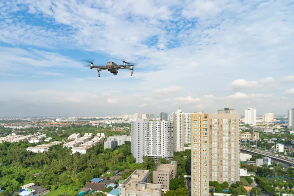
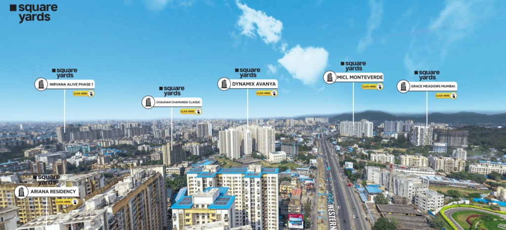
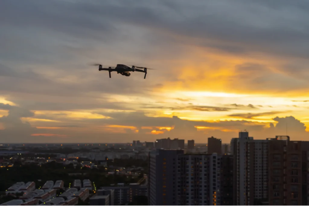
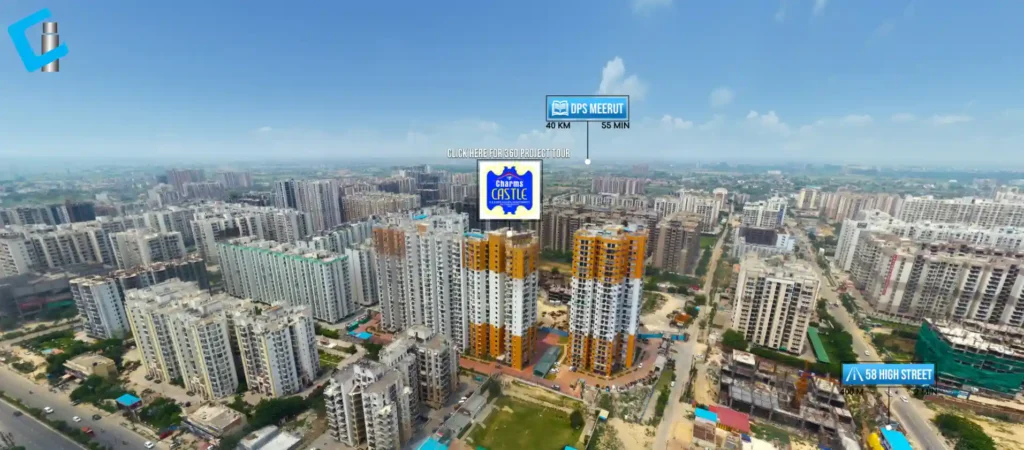
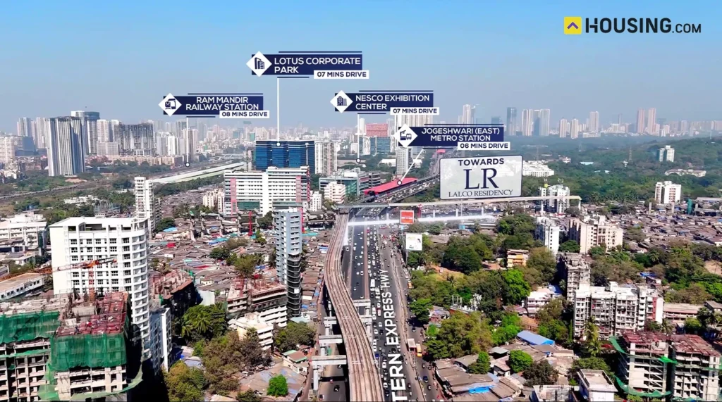
- Aerial Drone Route Videos
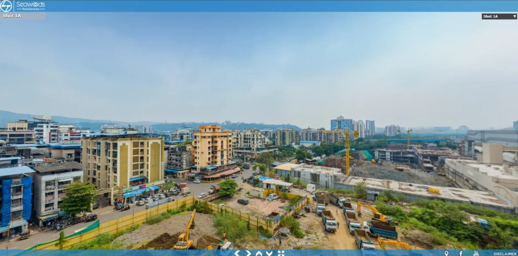
- Construction Update Videos & Photos
- Celebrity, Model Project Sales Videos
- Floor-Wise View Videos
- Isometric Plan Development Services
- Influencer Marketing Videos
- Location AV Videos
- Lead Generation
- Lead Qualification
- Project Videos
- Project Launch Teaser Videos
- Project Offer Videos
- Real Estate Project Vlogs & Reels
- Real Estate Brochures
- Social Media Videos & Posts
- Social Media Marketing
- Sales Team Showcasing Project Videos
- Time Lapse Videos
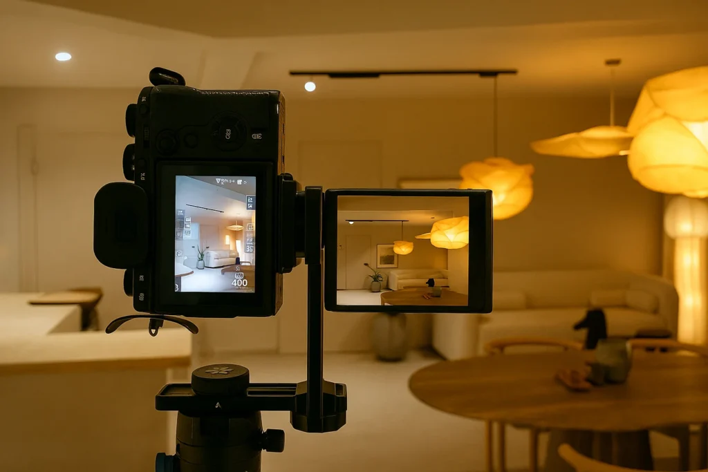
- Real Estate Photography
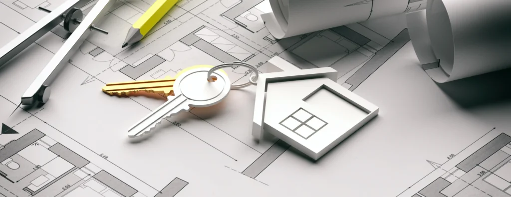
- Real Estate Services
- Real Estate Scale Models
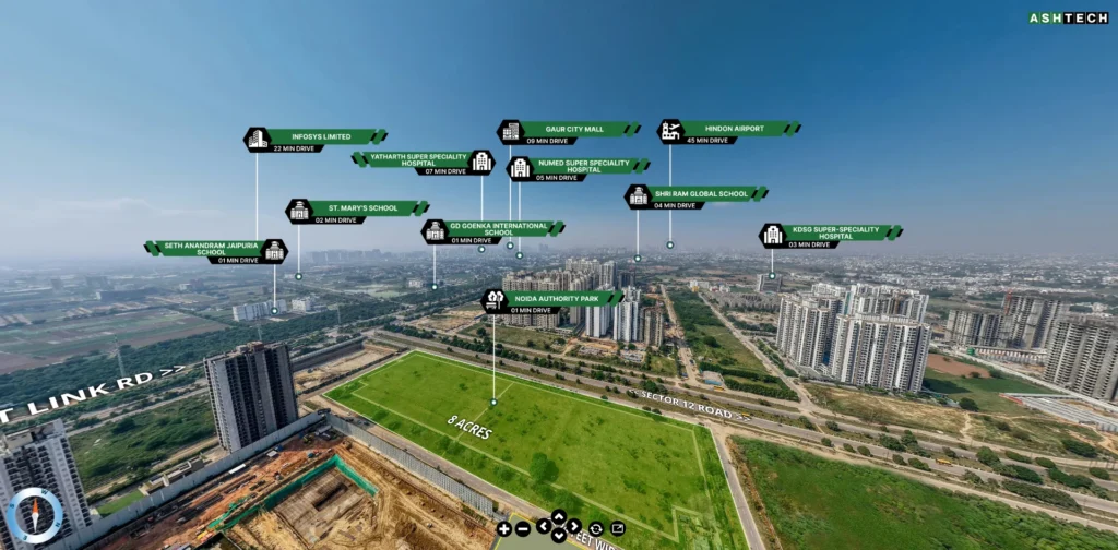
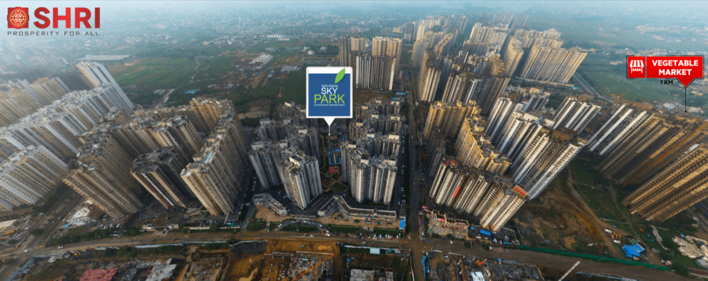
- Real Estate Locality Videos
- Real Estate Mobile App Development
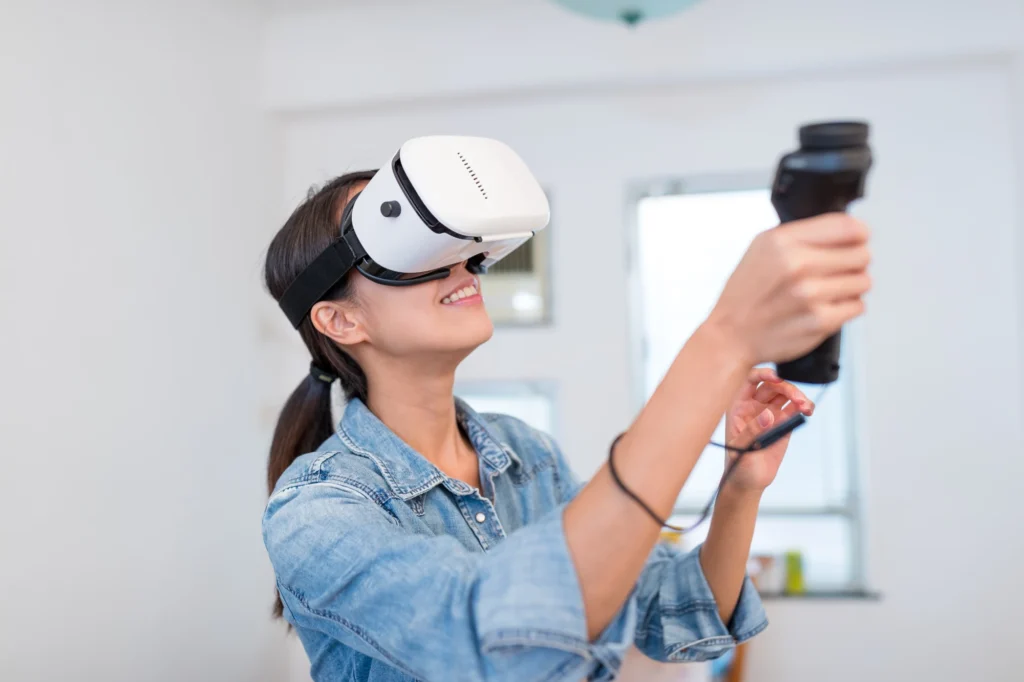
- Real Estate Virtual Tours
- Real Estate Area Wiki Videos
- Real Estate Project Showcase Videos
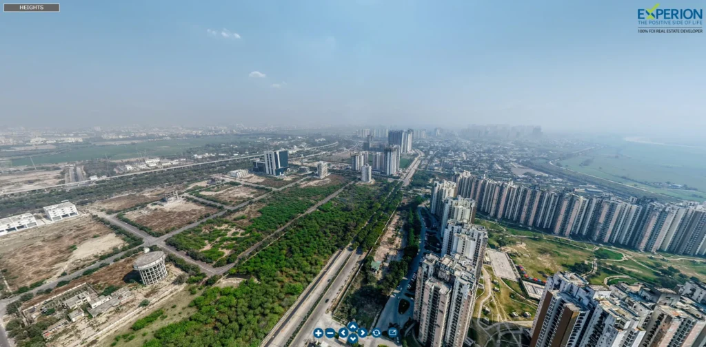
- Real Estate Aerial Virtual Tours
- Real Estate Corporate Videos
- Real Estate Model Videos
- Real Estate Listing
- Real Estate ORM
- Real Estate Reels
- Real Estate Construction Update Videos
- Real Estate Influencer Marketing Videos
- Real Estate Drone Construction Timelapse Videos
- Real Estate Lead Generation
- Real Estate Live Property Webinar
- Real Estate Website and Landing pages
- +91 75062 03777
- In The News