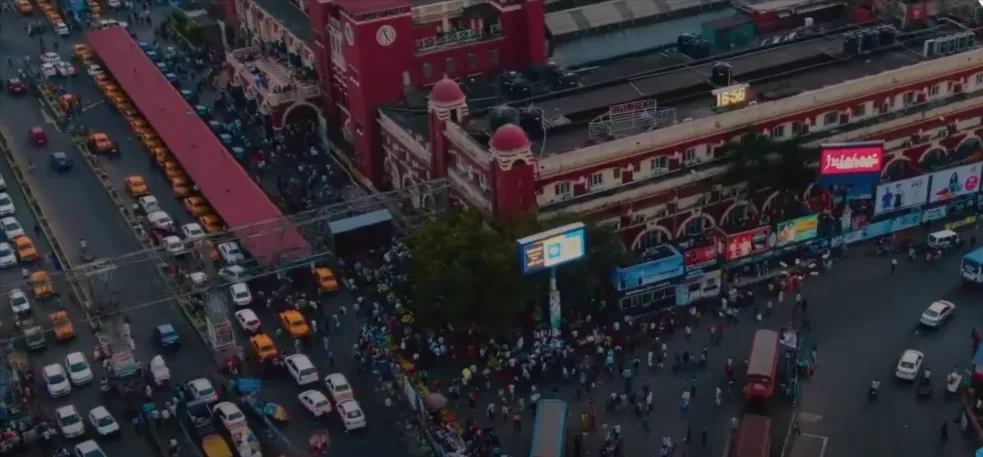
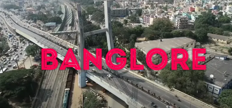
An Area Wiki Video is a local video that helps viewers quickly understand a neighbourhood, micro market, or city area. NS Ventures combines drone footage, locational maps, visuals of connectivity, motion graphics and an expert voiceover to create Area Wiki Videos for real estate ventures.
An Area Wiki Video goes beyond simple static maps and written descriptions to explain the nearby business districts, roads, public transportation options, schools, hospitals, entertainment bullets and future infrastructure. It enables prospective purchasers and investors to get a sense not just of the property, but of the location and its supporting ecosystem.
Why Area Wiki Videos Are Important for Real Estate Marketing?
Real estate decisions are heavily influenced by location. Buyers do not want to invest in a property unless they know about the connectivity, surrounding infrastructure, nearby facilities and development of area before even considering my plans for investment.
Area Wiki Videos will blend this data visually.
- Improved Location Awareness – Aerial views and animated maps make it easier for viewers to visualize streets, distances and neighborhoods.
- Helpful for Remote Buyers: Not all buyers have the luxury of checking a location out right away, and a more visual overview of an area helps.
- Showcasing Infrastructures: Mapping and Motion Graphics can be used to show roads, highways, metro routes or commercial centres and future infrastructure.
- Multi-Platform Content: The videos can be used on property websites, landing pages, YouTube, presentations, social media and marketing campaigns.
How NS Ventures Created an Area Wiki Video for Royal Ranches
An actual case example of this technique has been Royal Ranches– the real-estate project for which NS Ventures created an Area Wiki Video.
The site pan video goes on to covers the area at the project and assists you with gathering key data about the region, for example neighborhood interests, network choices, framework accessibility and improvement potential. Instead of simply describing the property itself, the Area Wiki gives prospective buyers geographical context to make clear just how livable and accessible a place is.
This type of project is an example of how you can give a visual story to location information in the form of an Area Wiki Video. A hybrid of aerial, mapping, routing and professional voice over information can simplify this multi-complex data for a prospective buyer to comprehend.
NS Ventures isn’t just trying to create a standard promo video, but instead visually convey on film why the place around matters to a real estate development.
What Does an Area Wiki Video Include?
An Area Wiki Video may include: depending on the project and its marketing goals.
- Aerial drone footage
- Location and route mapping
- Road and highway connectivity
- Nearby business and commercial districts
- Schools, hospitals, and lifestyle destinations
- Upcoming infrastructure developments
- Distance and travel-time information
- Motion graphics and animated maps
Bringing those production capabilities together with storytelling centered around real estate, NS Ventures creates location videos that illustrate the stories of how properties fit into their greater ecology.
How Do Area Wiki Videos Help Generate Real Estate Leads?
A buyer can also be supported in the location-research stage of their property journey by an Area Wiki Video. Through visual representations of connectivity, infrastructure, landmarks and developments nearby it can provide valuable context to prospects prior to deciding whether or not they want to reach out or schedule a site tour.
It can also be included on a Project landing page next to enquiry forms, brochures, site-visit CTAs and other information about the project. Edit long videos, upload on YouTube, schedule some short snippets for Instagram/LinkedIn/etc as well as marketing channels.